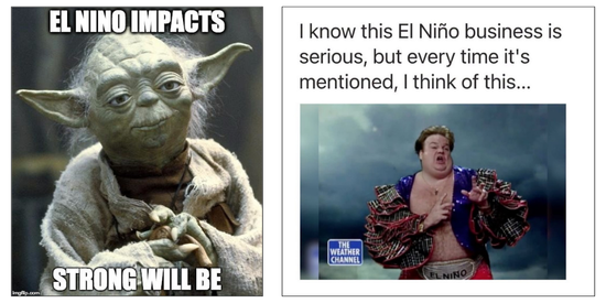
In case you haven’t heard, the National Weather Service is predicting, with high certainty, a very strong El Niño this year. A strong El Niño has already formed with a 90% chance of it strengthening to very strong and a 60% chance of it developing into the strongest since 1950. If you search El Niño in social media you might conclude that the world is ending; or that we are filming a disaster film; or find yourself laughing at various memes. But what does El Niño mean from a flood risk management perspective?
Let’s start with what El Niño is not. El Niño is not a storm event. In fact, as my colleague Mark Strudley says, it is not an event at all. El Niño is an indication that certain ocean temperatures are higher than normal. This year, approximately two degrees warmer than usual. So, time to go swimming in the South Pacific, right? Well, it is warmer in the ocean. But to explain a very technical issue very simply, warmer water causes changes in global weather patterns. It tends to mean more water moisture for Southern California and less for the Pacific Northwest and different weather patterns across the U.S. Of course, that doesn’t automatically mean flooding in Southern California which is predicted to be wetter than usual. Will the rain be light, like in London (drizzling all of the time but no big storms)? Or will it be like Palm Springs, with a massive storm that overwhelms the system? The reality is we don’t know. Our modeling isn’t advanced enough to predict so we need to be prepared, like we always are.
Also interesting is what happens between Southern California and the Pacific Northwest. What happens for the Central and Northern Coast of California and the Central Valley of California where some of the greatest flood risk in the U.S. exists? Well, ummm, we also don’t know. The National Weather Service recently reported that of the nine strong or very strong EL Niños since 1950, three have been wet, three have been normal, and three have been dry for Northern California. Kind of hard to make predictions based on those stats. We do expect that we could see stronger atmospheric rivers with higher tides and king tides, but the potential of flooding, as always, will depend on where those storms hit, whether they hit in sequence, what the snow levels do, and many other factors.
But perhaps the best thing about El Niño, and about this El Niño, is the public awareness it brings to flood risk reduction. Folks should have a modest level of fear about flooding and all of this media coverage is helpful in getting people’s attention. Let’s use that attention to drive support for our flood projects. And laugh at the memes when we can.